🚚 Free Worldwide Shipping on All Orders!Shop Now
West Highland Way XT40 Harvey Map
This is a complete map of the West Highland Way National Trail Path showing the entire route on 1 sheet. This long distance path is 95 miles long and starts at Milngavie on the outskirts of Glasgow and finishes at Fort William at the foot of Ben Nevis. The West Highland Way is classed as one of Scotlandís Great Trails.
The map includes logistical information for walking the West Highland Way, including accommodation options, shops and refreshments. Directions to the start of the route are included plus enlargements of the local towns and villages showing what facilities are available.
Harvey XT40 Maps are printed on light, waterproof and tear-resistant synthetic paper, and it is GPS compatible. The map key and legend is in English, French and German text.
$8.00
Original: $26.66
-70%West Highland Way XT40 Harvey Map—
$26.66
$8.00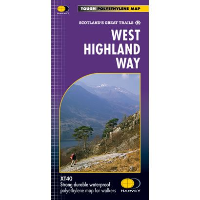
Description
This is a complete map of the West Highland Way National Trail Path showing the entire route on 1 sheet. This long distance path is 95 miles long and starts at Milngavie on the outskirts of Glasgow and finishes at Fort William at the foot of Ben Nevis. The West Highland Way is classed as one of Scotlandís Great Trails.
The map includes logistical information for walking the West Highland Way, including accommodation options, shops and refreshments. Directions to the start of the route are included plus enlargements of the local towns and villages showing what facilities are available.
Harvey XT40 Maps are printed on light, waterproof and tear-resistant synthetic paper, and it is GPS compatible. The map key and legend is in English, French and German text.
The map includes logistical information for walking the West Highland Way, including accommodation options, shops and refreshments. Directions to the start of the route are included plus enlargements of the local towns and villages showing what facilities are available.
Harvey XT40 Maps are printed on light, waterproof and tear-resistant synthetic paper, and it is GPS compatible. The map key and legend is in English, French and German text.


