🚚 Free Worldwide Shipping on All Orders!Shop Now
Unterengadin Walking Map 3327T
This Unterengadin Walking Map covers the Lower Engadine (Unterengadin) that is a long high Alpine valley region in the eastern Swiss Alps. The map also includes the towns of Zernez, Scoul, Sent and Susch.
The scale of this Unterengadin Walking Map (map number 3327T) is 1:33,333. Published by Swisstopo in cooperation with the Swiss Hiking Federation this map is printed on light, waterproof and tear-resistant paper.
The scale of this Unterengadin Walking Map (map number 3327T) is 1:33,333. Published by Swisstopo in cooperation with the Swiss Hiking Federation this map is printed on light, waterproof and tear-resistant paper.
$38.88
Original: $129.60
-70%Unterengadin Walking Map 3327T—
$129.60
$38.88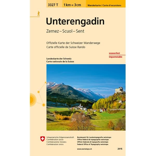
Description
This Unterengadin Walking Map covers the Lower Engadine (Unterengadin) that is a long high Alpine valley region in the eastern Swiss Alps. The map also includes the towns of Zernez, Scoul, Sent and Susch.
The scale of this Unterengadin Walking Map (map number 3327T) is 1:33,333. Published by Swisstopo in cooperation with the Swiss Hiking Federation this map is printed on light, waterproof and tear-resistant paper.
The scale of this Unterengadin Walking Map (map number 3327T) is 1:33,333. Published by Swisstopo in cooperation with the Swiss Hiking Federation this map is printed on light, waterproof and tear-resistant paper.


