🚚 Free Worldwide Shipping on All Orders!Shop Now
Titlis Walking Map 3307T
This Titlis Walking Map covers the Titlis Mountain (3,238m high) in the Uri Alps. Titlis is the highest summit of the range north of the Susten Pass, between the Bernese Oberland and Central Switzerland. The map also covers the towns of Hasliberg, Melchsee-Frutt, Engelberg, and Meiringen.
The scale of this Titlis Walking Map (map number 3307T) is 1:33,333. Published by Swisstopo in cooperation with the Swiss Hiking Federation this map is printed on light, waterproof and tear-resistant paper.
The scale of this Titlis Walking Map (map number 3307T) is 1:33,333. Published by Swisstopo in cooperation with the Swiss Hiking Federation this map is printed on light, waterproof and tear-resistant paper.
$5.19
Original: $17.30
-70%Titlis Walking Map 3307T—
$17.30
$5.19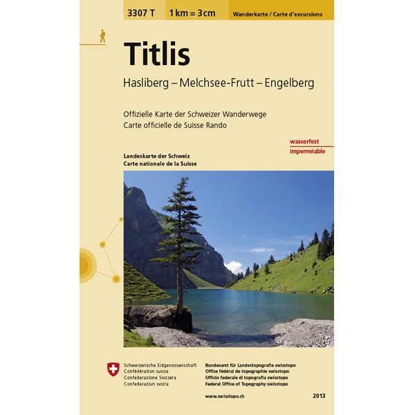
Description
This Titlis Walking Map covers the Titlis Mountain (3,238m high) in the Uri Alps. Titlis is the highest summit of the range north of the Susten Pass, between the Bernese Oberland and Central Switzerland. The map also covers the towns of Hasliberg, Melchsee-Frutt, Engelberg, and Meiringen.
The scale of this Titlis Walking Map (map number 3307T) is 1:33,333. Published by Swisstopo in cooperation with the Swiss Hiking Federation this map is printed on light, waterproof and tear-resistant paper.
The scale of this Titlis Walking Map (map number 3307T) is 1:33,333. Published by Swisstopo in cooperation with the Swiss Hiking Federation this map is printed on light, waterproof and tear-resistant paper.


