St Cuthbert's Way XT40 Harvey Map
This is a complete map of the St Cuthbertís Way long distance path showing the entire route on 1 map. St. Cuthbert's Way is a scenic long-distance walking route that is 62 miles long, and starts at Melrose Abbey before finishing at Holy Island, and is considered as one of Scotlandís great trails.
The route takes in several notable sites, including the beautiful Melrose Abbey, where St. Cuthbert's early life is remembered, and the stunning views from the Eildon Hills. As pilgrims approach the coast, they cross the iconic causeway to Lindisfarne, which is only accessible at low tide, further adding to the spiritual nature of the walk. Along the way, walkers are also greeted by charming villages and ancient churches, many of which have ties to St. Cuthbert's legacy.
The map includes logistical information for walking the St Cuthbertís Way, including accommodation options, shops and refreshments. Directions to the start of the route are included plus enlargements of the local towns and villages showing what facilities are available.
Harvey XT40 Maps are printed on light, waterproof and tear-resistant synthetic paper, and it is GPS compatible. The map key and legend is in English, French and German text.
Scale is 1:40,000.
ISBN is 9781851377237.
Original: $26.66
-70%$26.66
$8.00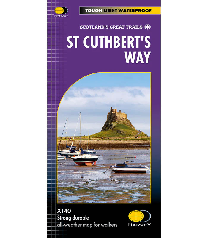
Description
This is a complete map of the St Cuthbertís Way long distance path showing the entire route on 1 map. St. Cuthbert's Way is a scenic long-distance walking route that is 62 miles long, and starts at Melrose Abbey before finishing at Holy Island, and is considered as one of Scotlandís great trails.
The route takes in several notable sites, including the beautiful Melrose Abbey, where St. Cuthbert's early life is remembered, and the stunning views from the Eildon Hills. As pilgrims approach the coast, they cross the iconic causeway to Lindisfarne, which is only accessible at low tide, further adding to the spiritual nature of the walk. Along the way, walkers are also greeted by charming villages and ancient churches, many of which have ties to St. Cuthbert's legacy.
The map includes logistical information for walking the St Cuthbertís Way, including accommodation options, shops and refreshments. Directions to the start of the route are included plus enlargements of the local towns and villages showing what facilities are available.
Harvey XT40 Maps are printed on light, waterproof and tear-resistant synthetic paper, and it is GPS compatible. The map key and legend is in English, French and German text.
Scale is 1:40,000.
ISBN is 9781851377237.


