🚚 Free Worldwide Shipping on All Orders!Shop Now
Säntis Walking Map 3301T
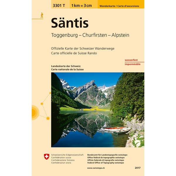
This Säntis Walking Map covers the mountain peak of Säntis at 2,502m high. Säntis is the highest mountain in the Alpstein massif of north-eastern Switzerland and one of the most prominent summits in the Alps. The map also covers the Churfirsten massif, along with the towns of Buches SG, Ebnat-Kappel, Sennwald and Nesslau.
The scale of this Säntis Walking Map (map number 3301T) is 1:33,333. Published by Swisstopo in cooperation with the Swiss Hiking Federation this map is printed on light, waterproof and tear-resistant paper.
The scale of this Säntis Walking Map (map number 3301T) is 1:33,333. Published by Swisstopo in cooperation with the Swiss Hiking Federation this map is printed on light, waterproof and tear-resistant paper.
$17.30
Säntis Walking Map 3301T—
$17.30
Description
This Säntis Walking Map covers the mountain peak of Säntis at 2,502m high. Säntis is the highest mountain in the Alpstein massif of north-eastern Switzerland and one of the most prominent summits in the Alps. The map also covers the Churfirsten massif, along with the towns of Buches SG, Ebnat-Kappel, Sennwald and Nesslau.
The scale of this Säntis Walking Map (map number 3301T) is 1:33,333. Published by Swisstopo in cooperation with the Swiss Hiking Federation this map is printed on light, waterproof and tear-resistant paper.
The scale of this Säntis Walking Map (map number 3301T) is 1:33,333. Published by Swisstopo in cooperation with the Swiss Hiking Federation this map is printed on light, waterproof and tear-resistant paper.


