🚚 Free Worldwide Shipping on All Orders!Shop Now
OS Explorer Map OL48 - Ben Lawers and Glen Lyon
This OS Explorer OL48 Map covers Ben Lawers and Glen Lyon, including Loch Tay, Killin and Kenmore.
The map covers part of the Loch Lomond and The Trossachs National Park with many Munros and the Tay Forest Park.
The scale of this OL 48 Explorer map is 1:25,000 where 4cm equals 1km, or 2.5 inches equals 1 mile.
With this map you will receive a code for a free mobile download onto your smartphone or tablet (iOS or Android).
Select Map Finish
From $5.21
Original: $17.36
-70%OS Explorer Map OL48 - Ben Lawers and Glen Lyon—
$17.36
$5.21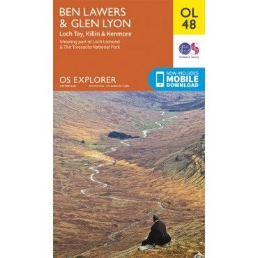
Description
This OS Explorer OL48 Map covers Ben Lawers and Glen Lyon, including Loch Tay, Killin and Kenmore.
The map covers part of the Loch Lomond and The Trossachs National Park with many Munros and the Tay Forest Park.
The scale of this OL 48 Explorer map is 1:25,000 where 4cm equals 1km, or 2.5 inches equals 1 mile.
With this map you will receive a code for a free mobile download onto your smartphone or tablet (iOS or Android).
The map covers part of the Loch Lomond and The Trossachs National Park with many Munros and the Tay Forest Park.
The scale of this OL 48 Explorer map is 1:25,000 where 4cm equals 1km, or 2.5 inches equals 1 mile.
With this map you will receive a code for a free mobile download onto your smartphone or tablet (iOS or Android).


