🚚 Free Worldwide Shipping on All Orders!Shop Now
OS Explorer Map OL42 - Kielder Water and Forest
This OS Explorer OL42 Map covers Kielder Water and Forest, including Bellingham and Simonside Hills. The map shows part of the Northumberland National Park including Bloody Bush and Larriston Fells Walk around Kielder Water, The Pennine Way National Trail and St. Oswald's Way.
The scale of this OL 42 Explorer map is 1:25,000 where 4cm equals 1km, or 2.5 inches equals 1 mile.
With this map you will receive a code for a free mobile download onto your smartphone or tablet (iOS or Android).
The scale of this OL 42 Explorer map is 1:25,000 where 4cm equals 1km, or 2.5 inches equals 1 mile.
With this map you will receive a code for a free mobile download onto your smartphone or tablet (iOS or Android).
Select Map Finish
From $5.21
Original: $17.36
-70%OS Explorer Map OL42 - Kielder Water and Forest—
$17.36
$5.21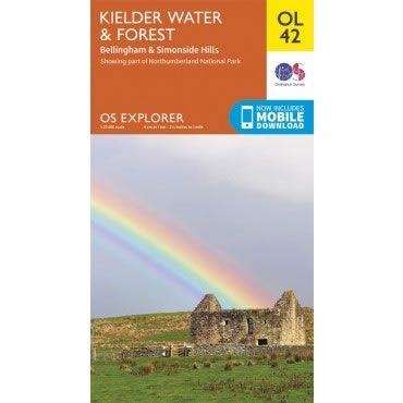
Description
This OS Explorer OL42 Map covers Kielder Water and Forest, including Bellingham and Simonside Hills. The map shows part of the Northumberland National Park including Bloody Bush and Larriston Fells Walk around Kielder Water, The Pennine Way National Trail and St. Oswald's Way.
The scale of this OL 42 Explorer map is 1:25,000 where 4cm equals 1km, or 2.5 inches equals 1 mile.
With this map you will receive a code for a free mobile download onto your smartphone or tablet (iOS or Android).
The scale of this OL 42 Explorer map is 1:25,000 where 4cm equals 1km, or 2.5 inches equals 1 mile.
With this map you will receive a code for a free mobile download onto your smartphone or tablet (iOS or Android).


