🚚 Free Worldwide Shipping on All Orders!Shop Now
OS Explorer Map OL38 - Loch Lomond South
This OS Explorer OL38 Map covers the southern part of Loch Lomond, including Dumbarton, Helensburgh, Drymen and Cove. The map shows part of the Loch Lomond and The Trossarchs National Park, Argyll Forest National Park, plus Queen Elizabeth Forest Park, Arden and Balloch.
The scale of this OL 38 Explorer map is 1:25,000 where 4cm equals 1km, or 2.5 inches equals 1 mile.
With this map you will receive a code for a free mobile download onto your smartphone or tablet (iOS or Android).
The scale of this OL 38 Explorer map is 1:25,000 where 4cm equals 1km, or 2.5 inches equals 1 mile.
With this map you will receive a code for a free mobile download onto your smartphone or tablet (iOS or Android).
Select Map Finish
From $5.21
Original: $17.36
-70%OS Explorer Map OL38 - Loch Lomond South—
$17.36
$5.21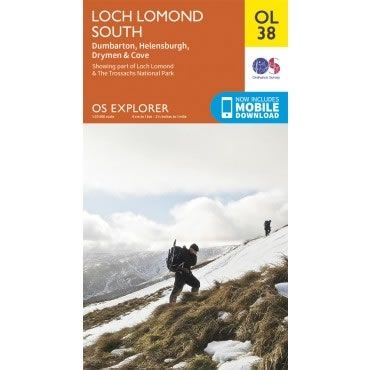
Description
This OS Explorer OL38 Map covers the southern part of Loch Lomond, including Dumbarton, Helensburgh, Drymen and Cove. The map shows part of the Loch Lomond and The Trossarchs National Park, Argyll Forest National Park, plus Queen Elizabeth Forest Park, Arden and Balloch.
The scale of this OL 38 Explorer map is 1:25,000 where 4cm equals 1km, or 2.5 inches equals 1 mile.
With this map you will receive a code for a free mobile download onto your smartphone or tablet (iOS or Android).
The scale of this OL 38 Explorer map is 1:25,000 where 4cm equals 1km, or 2.5 inches equals 1 mile.
With this map you will receive a code for a free mobile download onto your smartphone or tablet (iOS or Android).


