🚚 Free Worldwide Shipping on All Orders!Shop Now
OS Explorer Map OL35 - North Pembrokeshire
This OS Explorer OL35 Map covers the northern part of Pembrokeshire. It covers the Pembrokeshire Coast National Park on the West coast of Wales, plus St Davids, Cardigan, Goodwick and Fishguard.
The scale of this OL 35 Explorer map is 1:25,000 where 4cm equals 1km, or 2.5 inches equals 1 mile.
With this map you will receive a code for a free mobile download onto your smartphone or tablet (iOS or Android).
The scale of this OL 35 Explorer map is 1:25,000 where 4cm equals 1km, or 2.5 inches equals 1 mile.
With this map you will receive a code for a free mobile download onto your smartphone or tablet (iOS or Android).
Select Map Finish
From $5.21
Original: $17.36
-70%OS Explorer Map OL35 - North Pembrokeshire—
$17.36
$5.21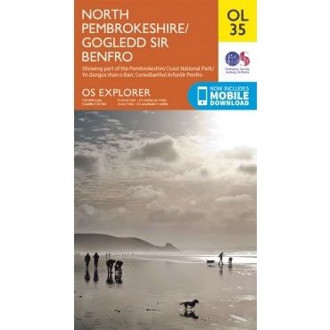
Description
This OS Explorer OL35 Map covers the northern part of Pembrokeshire. It covers the Pembrokeshire Coast National Park on the West coast of Wales, plus St Davids, Cardigan, Goodwick and Fishguard.
The scale of this OL 35 Explorer map is 1:25,000 where 4cm equals 1km, or 2.5 inches equals 1 mile.
With this map you will receive a code for a free mobile download onto your smartphone or tablet (iOS or Android).
The scale of this OL 35 Explorer map is 1:25,000 where 4cm equals 1km, or 2.5 inches equals 1 mile.
With this map you will receive a code for a free mobile download onto your smartphone or tablet (iOS or Android).


