🚚 Free Worldwide Shipping on All Orders!Shop Now
OS Explorer Map OL31 - North Pennines, Teesdale and Weardale
This OS Explorer OL31 Map covers the North Pennines, including Teesdale and Weardale. It also covers Barnard Castle, Alton, and Allenheads, Hamsterley Forest, Middleton Common, Milburn Forest, Cow Green and Burnhope Reservoirs, River Tees, River Wear, and a section of the Pennine Way.
The scale of this OL 31 Explorer map is 1:25,000 where 4cm equals 1km, or 2.5 inches equals 1 mile.
With this map you will receive a code for a free mobile download onto your smartphone or tablet (iOS or Android).
The scale of this OL 31 Explorer map is 1:25,000 where 4cm equals 1km, or 2.5 inches equals 1 mile.
With this map you will receive a code for a free mobile download onto your smartphone or tablet (iOS or Android).
Select Map Finish
From $5.21
Original: $17.36
-70%OS Explorer Map OL31 - North Pennines, Teesdale and Weardale—
$17.36
$5.21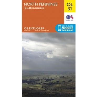
Description
This OS Explorer OL31 Map covers the North Pennines, including Teesdale and Weardale. It also covers Barnard Castle, Alton, and Allenheads, Hamsterley Forest, Middleton Common, Milburn Forest, Cow Green and Burnhope Reservoirs, River Tees, River Wear, and a section of the Pennine Way.
The scale of this OL 31 Explorer map is 1:25,000 where 4cm equals 1km, or 2.5 inches equals 1 mile.
With this map you will receive a code for a free mobile download onto your smartphone or tablet (iOS or Android).
The scale of this OL 31 Explorer map is 1:25,000 where 4cm equals 1km, or 2.5 inches equals 1 mile.
With this map you will receive a code for a free mobile download onto your smartphone or tablet (iOS or Android).


