🚚 Free Worldwide Shipping on All Orders!Shop Now
OS Explorer Map OL30 - Yorkshire Dales - Northern and Central areas
This OS Explorer OL30 Map covers the northern and central areas of the Yorkshire Dales National Park, including Wensleydale, Swaledale, Arkengarthdale, Aysgarth Falls, Hawes, and the River Wharfe.
The scale of this OL 30 Explorer map is 1:25,000 where 4cm equals 1km, or 2.5 inches equals 1 mile.
With this map you will receive a code for a free mobile download onto your smartphone or tablet (iOS or Android).
The scale of this OL 30 Explorer map is 1:25,000 where 4cm equals 1km, or 2.5 inches equals 1 mile.
With this map you will receive a code for a free mobile download onto your smartphone or tablet (iOS or Android).
Select Map Finish
From $5.21
Original: $17.36
-70%OS Explorer Map OL30 - Yorkshire Dales - Northern and Central areas—
$17.36
$5.21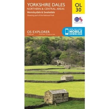
Description
This OS Explorer OL30 Map covers the northern and central areas of the Yorkshire Dales National Park, including Wensleydale, Swaledale, Arkengarthdale, Aysgarth Falls, Hawes, and the River Wharfe.
The scale of this OL 30 Explorer map is 1:25,000 where 4cm equals 1km, or 2.5 inches equals 1 mile.
With this map you will receive a code for a free mobile download onto your smartphone or tablet (iOS or Android).
The scale of this OL 30 Explorer map is 1:25,000 where 4cm equals 1km, or 2.5 inches equals 1 mile.
With this map you will receive a code for a free mobile download onto your smartphone or tablet (iOS or Android).


