🚚 Free Worldwide Shipping on All Orders!Shop Now
OS Explorer Map OL26 - North York Moors - Western area
This OS Explorer OL26 Map covers the western part of the North York Moors. Also covered are the Cleveland Hills, and a small section of the Howardian Hills, plus Saltburn-by-the-Sea, Guisborough, Helmsley, and Roseberry Topping.
The scale of this OL 26 Explorer map is 1:25,000 where 4cm equals 1km, or 2.5 inches equals 1 mile.
With this map you will receive a code for a free mobile download onto your smartphone or tablet (iOS or Android).
The scale of this OL 26 Explorer map is 1:25,000 where 4cm equals 1km, or 2.5 inches equals 1 mile.
With this map you will receive a code for a free mobile download onto your smartphone or tablet (iOS or Android).
Select Map Finish
From $5.21
Original: $17.36
-70%OS Explorer Map OL26 - North York Moors - Western area—
$17.36
$5.21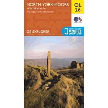
Description
This OS Explorer OL26 Map covers the western part of the North York Moors. Also covered are the Cleveland Hills, and a small section of the Howardian Hills, plus Saltburn-by-the-Sea, Guisborough, Helmsley, and Roseberry Topping.
The scale of this OL 26 Explorer map is 1:25,000 where 4cm equals 1km, or 2.5 inches equals 1 mile.
With this map you will receive a code for a free mobile download onto your smartphone or tablet (iOS or Android).
The scale of this OL 26 Explorer map is 1:25,000 where 4cm equals 1km, or 2.5 inches equals 1 mile.
With this map you will receive a code for a free mobile download onto your smartphone or tablet (iOS or Android).


