🚚 Free Worldwide Shipping on All Orders!Shop Now
OS Explorer Map OL21 - South Pennines
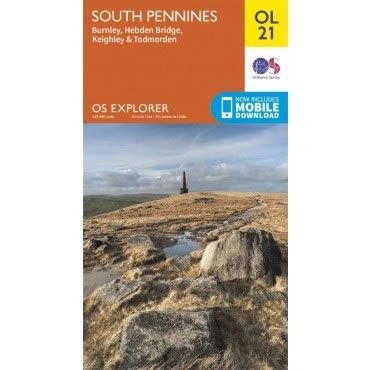
This OS Explorer OL21 Map covers the South Pennines, including Burnley, Hebden Bridge, Keighley and Todmorden. This area is criss-crossed by footpaths, including the Pennine Way and Calderdale Way, with the highest peak being Lad Law at 517m.
The scale of this OL 21 Explorer map is 1:25,000 where 4cm equals 1km, or 2.5 inches equals 1 mile.
With this map you will receive a code for a free mobile download onto your smartphone or tablet (iOS or Android).
The scale of this OL 21 Explorer map is 1:25,000 where 4cm equals 1km, or 2.5 inches equals 1 mile.
With this map you will receive a code for a free mobile download onto your smartphone or tablet (iOS or Android).
Select Map Finish
From $17.36
OS Explorer Map OL21 - South Pennines—
$17.36
Description
This OS Explorer OL21 Map covers the South Pennines, including Burnley, Hebden Bridge, Keighley and Todmorden. This area is criss-crossed by footpaths, including the Pennine Way and Calderdale Way, with the highest peak being Lad Law at 517m.
The scale of this OL 21 Explorer map is 1:25,000 where 4cm equals 1km, or 2.5 inches equals 1 mile.
With this map you will receive a code for a free mobile download onto your smartphone or tablet (iOS or Android).
The scale of this OL 21 Explorer map is 1:25,000 where 4cm equals 1km, or 2.5 inches equals 1 mile.
With this map you will receive a code for a free mobile download onto your smartphone or tablet (iOS or Android).


