🚚 Free Worldwide Shipping on All Orders!Shop Now
OS Explorer Map OL10 - Arundel and Pulborough
This OS Explorer OL10 Map covers Arundel and Pulborough, including Worthing and Bognor Regis. The map covers part of the South Downs National Park, the coastline between Bognor Regis and Worthing, the River Arun, Monarch's Way and part of the South Downs Way.
The scale of this OL10 Explorer map is 1:25,000 where 4cm equals 1km, or 2.5 inches equals 1 mile.
With this map you will receive a code for a free mobile download onto your smartphone or tablet (iOS or Android).
The scale of this OL10 Explorer map is 1:25,000 where 4cm equals 1km, or 2.5 inches equals 1 mile.
With this map you will receive a code for a free mobile download onto your smartphone or tablet (iOS or Android).
Select Map Finish
From $6.39
Original: $21.31
-70%OS Explorer Map OL10 - Arundel and Pulborough—
$21.31
$6.39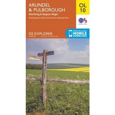
Description
This OS Explorer OL10 Map covers Arundel and Pulborough, including Worthing and Bognor Regis. The map covers part of the South Downs National Park, the coastline between Bognor Regis and Worthing, the River Arun, Monarch's Way and part of the South Downs Way.
The scale of this OL10 Explorer map is 1:25,000 where 4cm equals 1km, or 2.5 inches equals 1 mile.
With this map you will receive a code for a free mobile download onto your smartphone or tablet (iOS or Android).
The scale of this OL10 Explorer map is 1:25,000 where 4cm equals 1km, or 2.5 inches equals 1 mile.
With this map you will receive a code for a free mobile download onto your smartphone or tablet (iOS or Android).


