🚚 Free Worldwide Shipping on All Orders!Shop Now
OS Explorer Map OL09 - Exmoor
This OS Explorer OL09 Map covers Exmoor, including Barnstaple, Lynton, Minehead and Dulverton. Exmoor National Park has over 1,000km of footpaths and bridleways, meandering through woodlands, by rivers and on open moorland covered with heather.
The scale of this OL9 Explorer map is 1:25,000 where 4cm equals 1km, or 2.5 inches equals 1 mile.
With this map you will receive a code for a free mobile download onto your smartphone or tablet (iOS or Android).
The scale of this OL9 Explorer map is 1:25,000 where 4cm equals 1km, or 2.5 inches equals 1 mile.
With this map you will receive a code for a free mobile download onto your smartphone or tablet (iOS or Android).
Select Map Finish
From $6.39
Original: $21.31
-70%OS Explorer Map OL09 - Exmoor—
$21.31
$6.39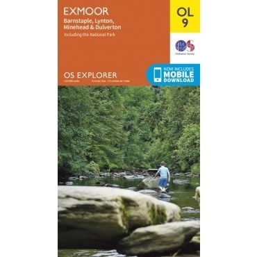
Description
This OS Explorer OL09 Map covers Exmoor, including Barnstaple, Lynton, Minehead and Dulverton. Exmoor National Park has over 1,000km of footpaths and bridleways, meandering through woodlands, by rivers and on open moorland covered with heather.
The scale of this OL9 Explorer map is 1:25,000 where 4cm equals 1km, or 2.5 inches equals 1 mile.
With this map you will receive a code for a free mobile download onto your smartphone or tablet (iOS or Android).
The scale of this OL9 Explorer map is 1:25,000 where 4cm equals 1km, or 2.5 inches equals 1 mile.
With this map you will receive a code for a free mobile download onto your smartphone or tablet (iOS or Android).


