🚚 Free Worldwide Shipping on All Orders!Shop Now
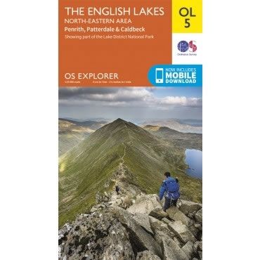
OS Explorer Map OL05 - The English Lakes - North Eastern area
This OS Explorer OL05 Map covers the north eastern area of the English Lakes. The map shows part of the English Lake District National Park, including the towns of Penrith, Patterdale, Caldbeck, Shap, and Threlkeld. Also covered are Ullswater, Haweswater and Thirlmere Lake, plus Helvellyn Peak.
The scale of this OL5 Explorer map is 1:25,000 where 4cm equals 1km, or 2.5 inches equals 1 mile.
With this map you will receive a code for a free mobile download onto your smartphone or tablet (iOS or Android).
The scale of this OL5 Explorer map is 1:25,000 where 4cm equals 1km, or 2.5 inches equals 1 mile.
With this map you will receive a code for a free mobile download onto your smartphone or tablet (iOS or Android).
Select Map Finish
From $21.31
OS Explorer Map OL05 - The English Lakes - North Eastern area—
$21.31
Description
This OS Explorer OL05 Map covers the north eastern area of the English Lakes. The map shows part of the English Lake District National Park, including the towns of Penrith, Patterdale, Caldbeck, Shap, and Threlkeld. Also covered are Ullswater, Haweswater and Thirlmere Lake, plus Helvellyn Peak.
The scale of this OL5 Explorer map is 1:25,000 where 4cm equals 1km, or 2.5 inches equals 1 mile.
With this map you will receive a code for a free mobile download onto your smartphone or tablet (iOS or Android).
The scale of this OL5 Explorer map is 1:25,000 where 4cm equals 1km, or 2.5 inches equals 1 mile.
With this map you will receive a code for a free mobile download onto your smartphone or tablet (iOS or Android).


