🚚 Free Worldwide Shipping on All Orders!Shop Now
OS Explorer Map OL03 - Meon Valley, Portsmouth, Gosport and Fareham
This OS Explorer OL03 Map covers the Meon Valley, including Portsmouth, Gosport and Fareham. The map also covers south westerly section of the South Downs National Park, plus the towns of Waterlooville, Droxford and Owslebury.
There are a number of Recreational Paths shown on the map, including part of the South Downs Trail, Solent Way, Kings Way, Pilgrim's Trail and Wayfarers Walk.
The scale of this OL3 Explorer map is 1:25,000 where 4cm equals 1km, or 2.5 inches equals 1 mile.
With this map you will receive a code for a free mobile download onto your smartphone or tablet (iOS or Android).
Select Map Finish
From $5.21
Original: $17.36
-70%OS Explorer Map OL03 - Meon Valley, Portsmouth, Gosport and Fareham—
$17.36
$5.21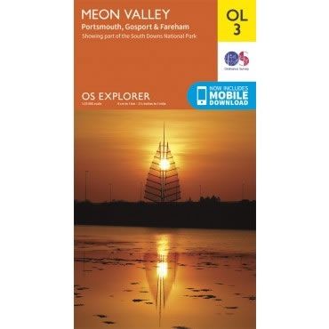
Description
This OS Explorer OL03 Map covers the Meon Valley, including Portsmouth, Gosport and Fareham. The map also covers south westerly section of the South Downs National Park, plus the towns of Waterlooville, Droxford and Owslebury.
There are a number of Recreational Paths shown on the map, including part of the South Downs Trail, Solent Way, Kings Way, Pilgrim's Trail and Wayfarers Walk.
The scale of this OL3 Explorer map is 1:25,000 where 4cm equals 1km, or 2.5 inches equals 1 mile.
With this map you will receive a code for a free mobile download onto your smartphone or tablet (iOS or Android).
There are a number of Recreational Paths shown on the map, including part of the South Downs Trail, Solent Way, Kings Way, Pilgrim's Trail and Wayfarers Walk.
The scale of this OL3 Explorer map is 1:25,000 where 4cm equals 1km, or 2.5 inches equals 1 mile.
With this map you will receive a code for a free mobile download onto your smartphone or tablet (iOS or Android).


