🚚 Free Worldwide Shipping on All Orders!Shop Now
OS Explorer Map OL02 - Yorkshire Dales - Southern and Western areas
This OS Explorer OL02 Map covers the southern and western part of the Yorkshire Dales, including Whernside, Ingleborough and Pen-y-ghent. The map also shows The Yorkshire three peaks challenge route, The Devils Bridge at Kirkby Lonsdale, Leeds to Liverpool Canal at Skipton, part of the Pennine Way, and Settle.
The scale of this OL2 Explorer map is 1:25,000 where 4cm equals 1km, or 2.5 inches equals 1 mile.
With this map you will receive a code for a free mobile download onto your smartphone or tablet (iOS or Android).
The scale of this OL2 Explorer map is 1:25,000 where 4cm equals 1km, or 2.5 inches equals 1 mile.
With this map you will receive a code for a free mobile download onto your smartphone or tablet (iOS or Android).
Select Map Finish
From $6.39
Original: $21.31
-70%OS Explorer Map OL02 - Yorkshire Dales - Southern and Western areas—
$21.31
$6.39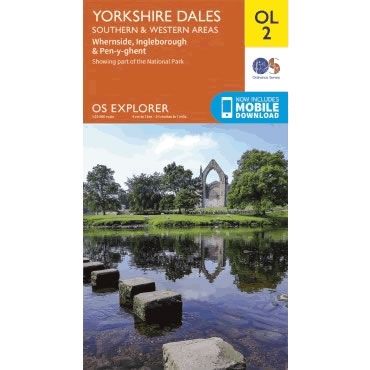
Description
This OS Explorer OL02 Map covers the southern and western part of the Yorkshire Dales, including Whernside, Ingleborough and Pen-y-ghent. The map also shows The Yorkshire three peaks challenge route, The Devils Bridge at Kirkby Lonsdale, Leeds to Liverpool Canal at Skipton, part of the Pennine Way, and Settle.
The scale of this OL2 Explorer map is 1:25,000 where 4cm equals 1km, or 2.5 inches equals 1 mile.
With this map you will receive a code for a free mobile download onto your smartphone or tablet (iOS or Android).
The scale of this OL2 Explorer map is 1:25,000 where 4cm equals 1km, or 2.5 inches equals 1 mile.
With this map you will receive a code for a free mobile download onto your smartphone or tablet (iOS or Android).


