🚚 Free Worldwide Shipping on All Orders!Shop Now
OS Explorer Map 361 - Isle of Arran
This OS Explorer 361 Map covers Isle of Arran, the largest island in the Firth of Clyde, including Goat Fell peak, standing at 874m high.
The scale of this OS361 Explorer map is 1:25,000 where 4cm equals 1km, or 2.5 inches equals 1 mile.
With this map you will receive a code for a free mobile download onto your smartphone or tablet (iOS or Android).
The scale of this OS361 Explorer map is 1:25,000 where 4cm equals 1km, or 2.5 inches equals 1 mile.
With this map you will receive a code for a free mobile download onto your smartphone or tablet (iOS or Android).
Select Map Finish
From $6.39
Original: $21.31
-70%OS Explorer Map 361 - Isle of Arran—
$21.31
$6.39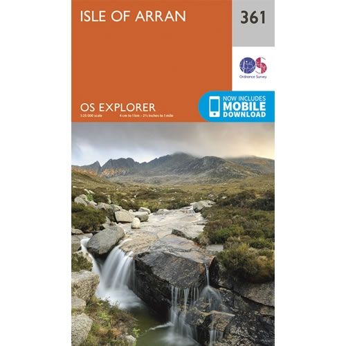
Description
This OS Explorer 361 Map covers Isle of Arran, the largest island in the Firth of Clyde, including Goat Fell peak, standing at 874m high.
The scale of this OS361 Explorer map is 1:25,000 where 4cm equals 1km, or 2.5 inches equals 1 mile.
With this map you will receive a code for a free mobile download onto your smartphone or tablet (iOS or Android).
The scale of this OS361 Explorer map is 1:25,000 where 4cm equals 1km, or 2.5 inches equals 1 mile.
With this map you will receive a code for a free mobile download onto your smartphone or tablet (iOS or Android).


