🚚 Free Worldwide Shipping on All Orders!Shop Now
OS Explorer Map 319 - Galloway Forest Park South
This OS Explorer 319 Map covers southern part of the Galloway Forest Park, including Glen Trool, Clatteringshaws Loch, Loch Grannoch, Loch Ken and Newton Stewart.
The scale of this OS319 Explorer map is 1:25,000 where 4cm equals 1km, or 2.5 inches equals 1 mile.
With this map you will receive a code for a free mobile download onto your smartphone or tablet (iOS or Android).
The scale of this OS319 Explorer map is 1:25,000 where 4cm equals 1km, or 2.5 inches equals 1 mile.
With this map you will receive a code for a free mobile download onto your smartphone or tablet (iOS or Android).
Select Map Finish
From $6.39
Original: $21.31
-70%OS Explorer Map 319 - Galloway Forest Park South—
$21.31
$6.39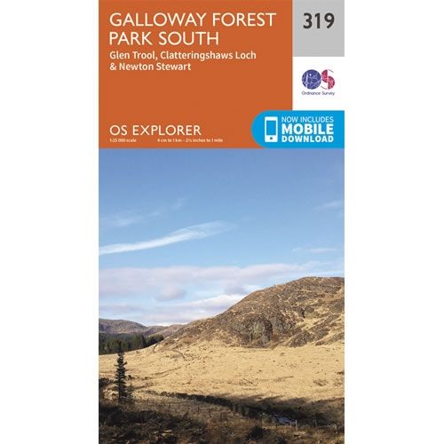
Description
This OS Explorer 319 Map covers southern part of the Galloway Forest Park, including Glen Trool, Clatteringshaws Loch, Loch Grannoch, Loch Ken and Newton Stewart.
The scale of this OS319 Explorer map is 1:25,000 where 4cm equals 1km, or 2.5 inches equals 1 mile.
With this map you will receive a code for a free mobile download onto your smartphone or tablet (iOS or Android).
The scale of this OS319 Explorer map is 1:25,000 where 4cm equals 1km, or 2.5 inches equals 1 mile.
With this map you will receive a code for a free mobile download onto your smartphone or tablet (iOS or Android).


