🚚 Free Worldwide Shipping on All Orders!Shop Now
OS Explorer Map 297 - Lower Wharfedale and Washburn Valley
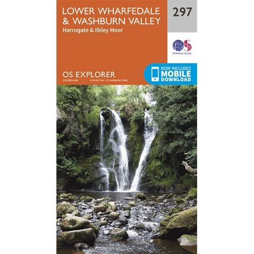
This OS Explorer 297 Map covers the Lower Wharfedale and the Washburn Valley, including Harrogate, Otley and Ilkley Moor.
The scale of this OS297 Explorer map is 1:25,000 where 4cm equals 1km, or 2.5 inches equals 1 mile.
With this map you will receive a code for a free mobile download onto your smartphone or tablet (iOS or Android).
The scale of this OS297 Explorer map is 1:25,000 where 4cm equals 1km, or 2.5 inches equals 1 mile.
With this map you will receive a code for a free mobile download onto your smartphone or tablet (iOS or Android).
Select Map Finish
From $21.31
OS Explorer Map 297 - Lower Wharfedale and Washburn Valley—
$21.31
Description
This OS Explorer 297 Map covers the Lower Wharfedale and the Washburn Valley, including Harrogate, Otley and Ilkley Moor.
The scale of this OS297 Explorer map is 1:25,000 where 4cm equals 1km, or 2.5 inches equals 1 mile.
With this map you will receive a code for a free mobile download onto your smartphone or tablet (iOS or Android).
The scale of this OS297 Explorer map is 1:25,000 where 4cm equals 1km, or 2.5 inches equals 1 mile.
With this map you will receive a code for a free mobile download onto your smartphone or tablet (iOS or Android).


