🚚 Free Worldwide Shipping on All Orders!Shop Now
OS Explorer Map 217 - The Long Mynd and Wenlock Edge
This OS Explorer 217 Map covers the Long Mynd and Wenlock Edge, including Church Stretton, Craven Arms, Brown Clee Hill, the River Onny, Much Wenlock and the Stiperstones.
The scale of this OS217 Explorer map is 1:25,000 where 4cm equals 1km, or 2.5 inches equals 1 mile.
With this map you will receive a code for a free mobile download onto your smartphone or tablet (iOS or Android).
The scale of this OS217 Explorer map is 1:25,000 where 4cm equals 1km, or 2.5 inches equals 1 mile.
With this map you will receive a code for a free mobile download onto your smartphone or tablet (iOS or Android).
Select Map Finish
From $5.21
Original: $17.36
-70%OS Explorer Map 217 - The Long Mynd and Wenlock Edge—
$17.36
$5.21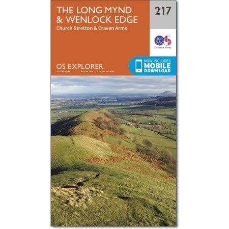
Description
This OS Explorer 217 Map covers the Long Mynd and Wenlock Edge, including Church Stretton, Craven Arms, Brown Clee Hill, the River Onny, Much Wenlock and the Stiperstones.
The scale of this OS217 Explorer map is 1:25,000 where 4cm equals 1km, or 2.5 inches equals 1 mile.
With this map you will receive a code for a free mobile download onto your smartphone or tablet (iOS or Android).
The scale of this OS217 Explorer map is 1:25,000 where 4cm equals 1km, or 2.5 inches equals 1 mile.
With this map you will receive a code for a free mobile download onto your smartphone or tablet (iOS or Android).


