🚚 Free Worldwide Shipping on All Orders!Shop Now
OS Explorer Map 166 - Rhondda and Merthyr Tydfil
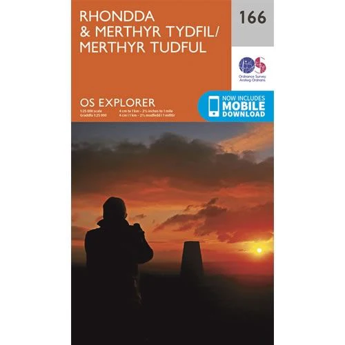
This OS Explorer 166 Map covers the Rhondda Valley and Merthyr Tydfil, including Caerphilly, Maesteg, and Pontypridd.
The scale of this OS166 Explorer map is 1:25,000 where 4cm equals 1km, or 2.5 inches equals 1 mile.
With this map you will receive a code for a free mobile download onto your smartphone or tablet (iOS or Android).
The scale of this OS166 Explorer map is 1:25,000 where 4cm equals 1km, or 2.5 inches equals 1 mile.
With this map you will receive a code for a free mobile download onto your smartphone or tablet (iOS or Android).
Select Map Finish
From $17.36
OS Explorer Map 166 - Rhondda and Merthyr Tydfil—
$17.36
Description
This OS Explorer 166 Map covers the Rhondda Valley and Merthyr Tydfil, including Caerphilly, Maesteg, and Pontypridd.
The scale of this OS166 Explorer map is 1:25,000 where 4cm equals 1km, or 2.5 inches equals 1 mile.
With this map you will receive a code for a free mobile download onto your smartphone or tablet (iOS or Android).
The scale of this OS166 Explorer map is 1:25,000 where 4cm equals 1km, or 2.5 inches equals 1 mile.
With this map you will receive a code for a free mobile download onto your smartphone or tablet (iOS or Android).


