🚚 Free Worldwide Shipping on All Orders!Shop Now
Norfolk Coast OS Map Pack
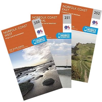
The North Norfolk Coast OS Map Pack contains three maps:
Explorer 250: Norfolk Coast West
Explorer 251: Norfolk Coast Central
Explorer 252: Norfolk Coast East
Outdoor Leisure Maps are ideal for all kinds of outdoor activities - from walkers and cyclists to horse riders, climbers and water sports enthusiasts.
Each map now includes a digital version of the map for your smart phone or tablet.
The 1:25,000 scale (4 cm to 1 km - 2Ω inches to 1 mile) maps feature:
Rights-of-way information for England and Wales
Selected tourist information
Access land (on maps of England and Wales)
Picnic areas and viewpoints
National Trail and Recreational Path routes.
Select Map Finish
From $46.70
Norfolk Coast OS Map Pack—
$46.70
Description
The North Norfolk Coast OS Map Pack contains three maps:
Explorer 250: Norfolk Coast West
Explorer 251: Norfolk Coast Central
Explorer 252: Norfolk Coast East
Outdoor Leisure Maps are ideal for all kinds of outdoor activities - from walkers and cyclists to horse riders, climbers and water sports enthusiasts.
Each map now includes a digital version of the map for your smart phone or tablet.
The 1:25,000 scale (4 cm to 1 km - 2Ω inches to 1 mile) maps feature:
Rights-of-way information for England and Wales
Selected tourist information
Access land (on maps of England and Wales)
Picnic areas and viewpoints
National Trail and Recreational Path routes.
Explorer 250: Norfolk Coast West
Explorer 251: Norfolk Coast Central
Explorer 252: Norfolk Coast East
Outdoor Leisure Maps are ideal for all kinds of outdoor activities - from walkers and cyclists to horse riders, climbers and water sports enthusiasts.
Each map now includes a digital version of the map for your smart phone or tablet.
The 1:25,000 scale (4 cm to 1 km - 2Ω inches to 1 mile) maps feature:
Rights-of-way information for England and Wales
Selected tourist information
Access land (on maps of England and Wales)
Picnic areas and viewpoints
National Trail and Recreational Path routes.


