Mallorca - Tramuntana South Tour and Trail Map
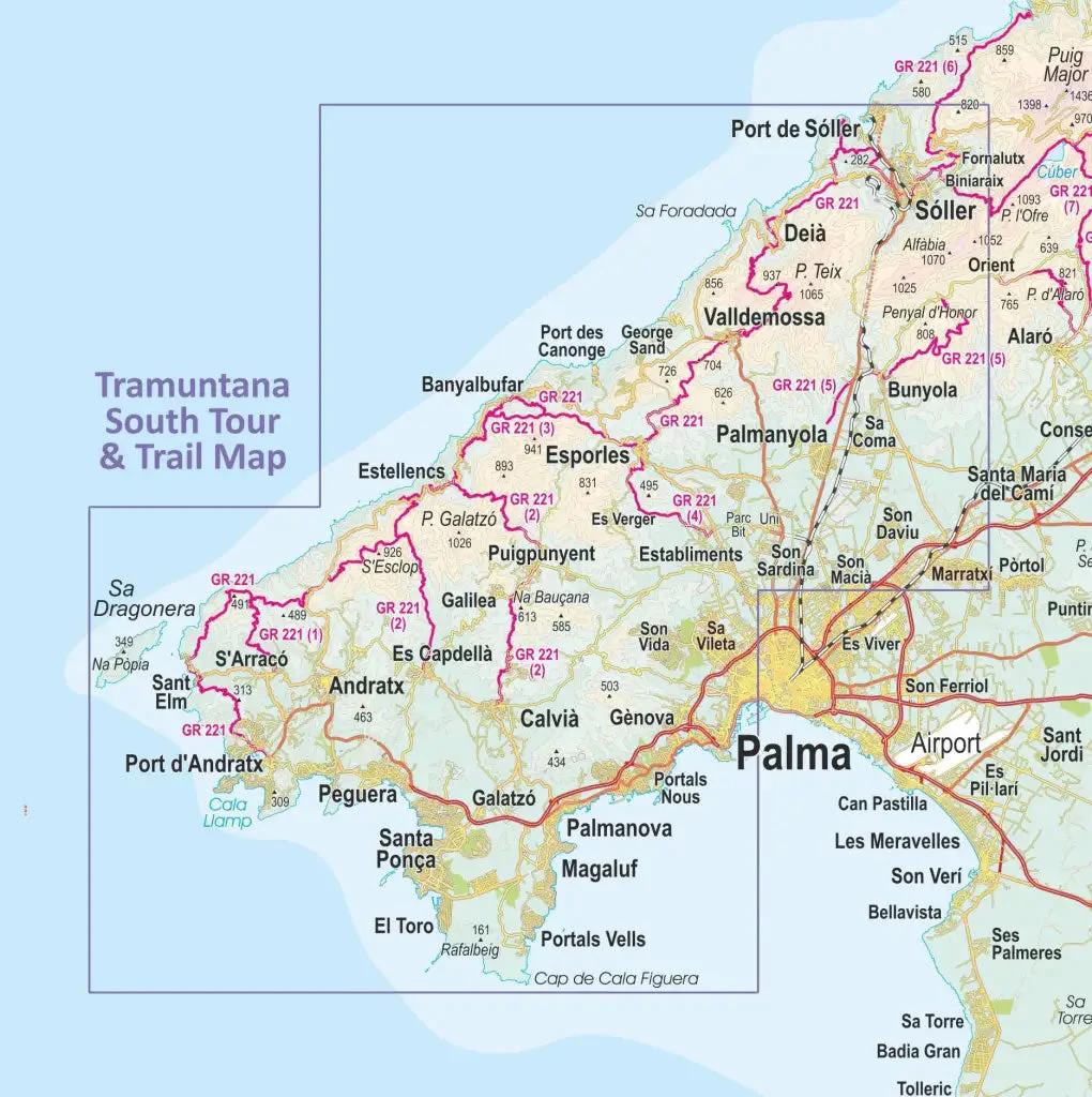
This walking map covers a continuous area from Tramuntana’s southern-most point Cap de Cala Figuera up to Sóller and Port de Sóller. It includes all the coastal resorts such as Magaluf, Santa Ponça and Peguera, with Port d’Andratx and Sa Dragonera islet also covered.
The map shows all the published hiking routes, plus the southern part of the GR221 (Dry stone route) complete with a mini-guide. Also included is an overview of the public transport and bus services.
Published by Discovery Walking Guides, the map legend is in English, German, French and Spanish text.
This is part of a 2-map set, with the 2nd map called Mallorca - Tramuntana North Tour and Trail Map.
Scale is 1:30,000.
ISBN is 9781782750888.
Original: $19.98
-70%$19.98
$5.99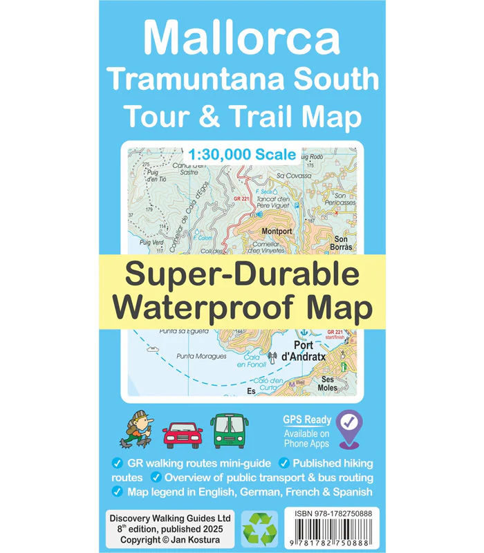
Description
This walking map covers a continuous area from Tramuntana’s southern-most point Cap de Cala Figuera up to Sóller and Port de Sóller. It includes all the coastal resorts such as Magaluf, Santa Ponça and Peguera, with Port d’Andratx and Sa Dragonera islet also covered.
The map shows all the published hiking routes, plus the southern part of the GR221 (Dry stone route) complete with a mini-guide. Also included is an overview of the public transport and bus services.
Published by Discovery Walking Guides, the map legend is in English, German, French and Spanish text.
This is part of a 2-map set, with the 2nd map called Mallorca - Tramuntana North Tour and Trail Map.
Scale is 1:30,000.
ISBN is 9781782750888.


