🚚 Free Worldwide Shipping on All Orders!Shop Now
Lötschental - Aletschgebiet Walking Map 3324T
This Lötschental - Aletschgebiet Walking Map covers Lötschental (Lötschen Valley) and the Aletsch Glacier the largest glacier in the Alps to the north of Brig. Lötschental is an impressive valley between the Valais Alps and the Bernese Alps with stunning mountain scenery.
The scale of this Lötschental - Aletschgebiet Walking Map (map number 3324T) is 1:33,333. Published by Swisstopo in cooperation with the Swiss Hiking Federation this map is printed on light, waterproof and tear-resistant paper.
The scale of this Lötschental - Aletschgebiet Walking Map (map number 3324T) is 1:33,333. Published by Swisstopo in cooperation with the Swiss Hiking Federation this map is printed on light, waterproof and tear-resistant paper.
$38.88
Original: $129.60
-70%Lötschental - Aletschgebiet Walking Map 3324T—
$129.60
$38.88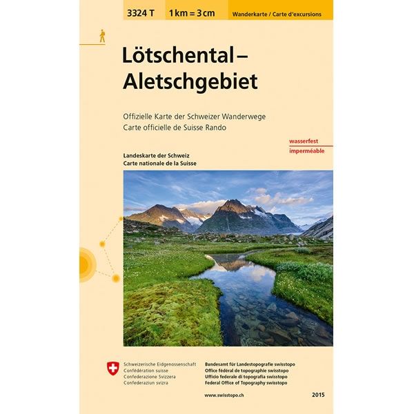
Description
This Lötschental - Aletschgebiet Walking Map covers Lötschental (Lötschen Valley) and the Aletsch Glacier the largest glacier in the Alps to the north of Brig. Lötschental is an impressive valley between the Valais Alps and the Bernese Alps with stunning mountain scenery.
The scale of this Lötschental - Aletschgebiet Walking Map (map number 3324T) is 1:33,333. Published by Swisstopo in cooperation with the Swiss Hiking Federation this map is printed on light, waterproof and tear-resistant paper.
The scale of this Lötschental - Aletschgebiet Walking Map (map number 3324T) is 1:33,333. Published by Swisstopo in cooperation with the Swiss Hiking Federation this map is printed on light, waterproof and tear-resistant paper.


