🚚 Free Worldwide Shipping on All Orders!Shop Now
Les Diablerets Walking Map 3317T
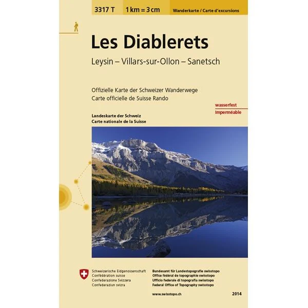
This Les Diablerets Walking Map covers the village and ski resort of Les Diablerets. It also covers the towns of Leysin and Villars-sur-Ollon, plus the Sanetsch Pass. The Diablerets Massif is the highest point in western Switzerland.
The scale of this Les Diablerets Walking Map (map number 3317T) is 1:33,333. Published by Swisstopo in cooperation with the Swiss Hiking Federation this map is printed on light, waterproof and tear-resistant paper.
The scale of this Les Diablerets Walking Map (map number 3317T) is 1:33,333. Published by Swisstopo in cooperation with the Swiss Hiking Federation this map is printed on light, waterproof and tear-resistant paper.
$129.60
Les Diablerets Walking Map 3317T—
$129.60
Description
This Les Diablerets Walking Map covers the village and ski resort of Les Diablerets. It also covers the towns of Leysin and Villars-sur-Ollon, plus the Sanetsch Pass. The Diablerets Massif is the highest point in western Switzerland.
The scale of this Les Diablerets Walking Map (map number 3317T) is 1:33,333. Published by Swisstopo in cooperation with the Swiss Hiking Federation this map is printed on light, waterproof and tear-resistant paper.
The scale of this Les Diablerets Walking Map (map number 3317T) is 1:33,333. Published by Swisstopo in cooperation with the Swiss Hiking Federation this map is printed on light, waterproof and tear-resistant paper.


