🚚 Free Worldwide Shipping on All Orders!Shop Now
Irish Discovery Map 52, Clare and Galway
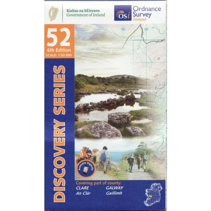
Discovery Map No. 52 covers part of Counties Clare and Galway. It includes the towns of Gort and Loughrea. The Irish OS Discovery series of maps cover the whole of Southern Ireland at a scale of 1:50,000.
Scale is 1:50,000.
ISBN is 9781912140640.
$17.30
Irish Discovery Map 52, Clare and Galway—
$17.30
Description
Discovery Map No. 52 covers part of Counties Clare and Galway. It includes the towns of Gort and Loughrea. The Irish OS Discovery series of maps cover the whole of Southern Ireland at a scale of 1:50,000.
Scale is 1:50,000.
ISBN is 9781912140640.


