🚚 Free Worldwide Shipping on All Orders!Shop Now
Irish Discoverer Map 12, Strabane
Discoverer Map No. 12 covers Strabane and includes Castlederg, Sion Mills and Newtownstewart. The map also includes Stanorlar, Ballybofey, Castlefin, Clady, Lifford, Omagh, Drumquin, plus the peak of Bessy Bell. The Irish OS Discoverer series of maps cover the whole of Northern Ireland at a scale of 1:50,000.
Scale is 1:50,000.
ISBN is 9781905306688.
$5.19
Original: $17.30
-70%Irish Discoverer Map 12, Strabane—
$17.30
$5.19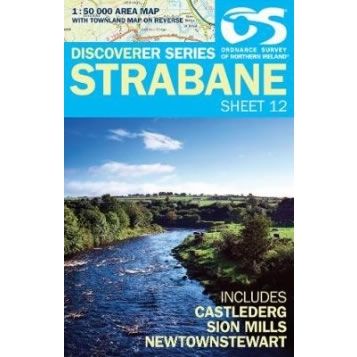
Description
Discoverer Map No. 12 covers Strabane and includes Castlederg, Sion Mills and Newtownstewart. The map also includes Stanorlar, Ballybofey, Castlefin, Clady, Lifford, Omagh, Drumquin, plus the peak of Bessy Bell. The Irish OS Discoverer series of maps cover the whole of Northern Ireland at a scale of 1:50,000.
Scale is 1:50,000.
ISBN is 9781905306688.


