Hadrian's Wall Path Trailblazer Guidebook
This is an all-in-one guidebook to walking Hadrian's Wall Path National Trail.
Hadrian's Wall Path, is 84 miles from end to end, and it follows the course of northern Europe's largest surviving Roman monument. Hadrian's wall is a 2nd-century fortification built in the border country between England and Scotland, on the orders of the Emperor Hadrian in AD122.
Opened in 2003, the path crosses the beautiful border country between England and Scotland. It is the first National Trail to follow the course of a UNESCO World Heritage Site. This week-long walk is regarded as one of the least challenging National Trails.
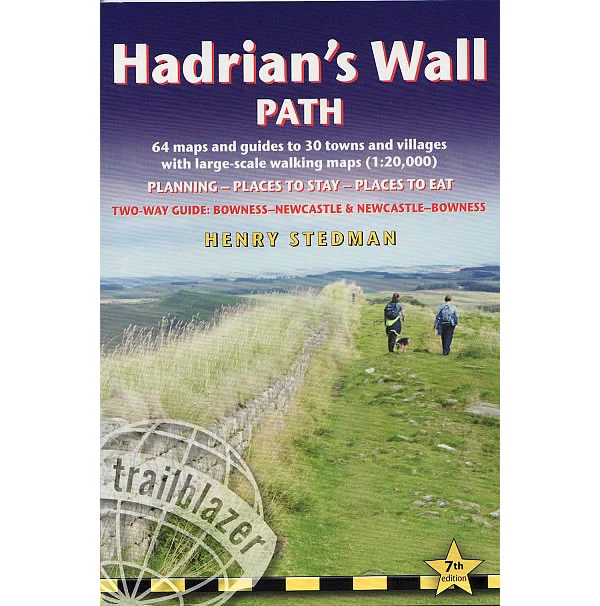
The guidebook includes 59 large scale maps (just under 1:20,000), 8 town plans and 2 overview maps. It includes descriptions for all walkers whether walking the route in its entirety over 7 to 10 days or sampling the highlights on day walks and short breaks . Also included is practical information for all budgets, such as camping, bunkhouses, hostels, B&Bs, pubs and hotels, where to eat, what to see, plus detailed street plans . Comprehensive public transport information for all access points on the Hadrian's Wall Path.
Publish by Trailblazer in 2023, this 7th edition of this Hadrian's Wall path guidebook that has been re-walked and fully updated. It also includes GPS waypoints along with information on how to download these from the Trailblazer website.
Description
This is an all-in-one guidebook to walking Hadrian's Wall Path National Trail.
Hadrian's Wall Path, is 84 miles from end to end, and it follows the course of northern Europe's largest surviving Roman monument. Hadrian's wall is a 2nd-century fortification built in the border country between England and Scotland, on the orders of the Emperor Hadrian in AD122.
Opened in 2003, the path crosses the beautiful border country between England and Scotland. It is the first National Trail to follow the course of a UNESCO World Heritage Site. This week-long walk is regarded as one of the least challenging National Trails.
The guidebook includes 59 large scale maps (just under 1:20,000), 8 town plans and 2 overview maps. It includes descriptions for all walkers whether walking the route in its entirety over 7 to 10 days or sampling the highlights on day walks and short breaks . Also included is practical information for all budgets, such as camping, bunkhouses, hostels, B&Bs, pubs and hotels, where to eat, what to see, plus detailed street plans . Comprehensive public transport information for all access points on the Hadrian's Wall Path.
Publish by Trailblazer in 2023, this 7th edition of this Hadrian's Wall path guidebook that has been re-walked and fully updated. It also includes GPS waypoints along with information on how to download these from the Trailblazer website.