🚚 Free Worldwide Shipping on All Orders!Shop Now
Glyndwr's Way XT40 Harvey Map
This is a complete map of the Glyndwrís Way National Trail Path showing the entire route on 1 sheet. This long distance path starts at Knighton on the English border passes through Wales via Machynlleth in the west and finishes at Welshpool. The route passes through open moorland, rolling farmland, woodland and forest of mid-Wales, including the tranquil Radnorshire Hills, the shores of the Clywedog Reservoir and heather clad Plynlimon.
The map includes logistical information for walking the Glyndwrís Way, including accommodation options, shops and refreshments. Directions to the start of the route are included plus enlargements of the local towns and villages showing what facilities are available.
Harvey XT40 Maps are printed on light, waterproof and tear-resistant synthetic paper, and it is GPS compatible. The map key and legend is in English, French and German text.
$8.00
Original: $26.66
-70%Glyndwr's Way XT40 Harvey Map—
$26.66
$8.00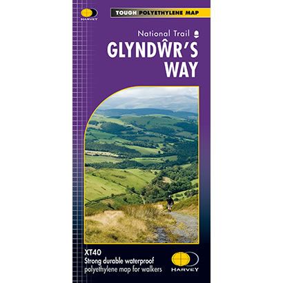
Description
This is a complete map of the Glyndwrís Way National Trail Path showing the entire route on 1 sheet. This long distance path starts at Knighton on the English border passes through Wales via Machynlleth in the west and finishes at Welshpool. The route passes through open moorland, rolling farmland, woodland and forest of mid-Wales, including the tranquil Radnorshire Hills, the shores of the Clywedog Reservoir and heather clad Plynlimon.
The map includes logistical information for walking the Glyndwrís Way, including accommodation options, shops and refreshments. Directions to the start of the route are included plus enlargements of the local towns and villages showing what facilities are available.
Harvey XT40 Maps are printed on light, waterproof and tear-resistant synthetic paper, and it is GPS compatible. The map key and legend is in English, French and German text.
The map includes logistical information for walking the Glyndwrís Way, including accommodation options, shops and refreshments. Directions to the start of the route are included plus enlargements of the local towns and villages showing what facilities are available.
Harvey XT40 Maps are printed on light, waterproof and tear-resistant synthetic paper, and it is GPS compatible. The map key and legend is in English, French and German text.


