Galloway Hills XT25 Superwalker Map
This is a detailed map of the Galloway Hills that form part of the Southern Uplands of Scotland, at a scale of 1:25,000. This map is aimed at hillwalkers covering an area from Glen Trool and Loch Dee north to Loch Doon and Carrick Forest.
The map covers a large part of the popular Galloway Forest Park, including the Minnigaff Hills, Merrick, Corserine, the Dungeon Hills, plus many lochs that make this area a delight to walk in. The map shows 3 Corbetts, 4 Grahams and 11 Donalds.
Published in January 2021 by Harvey Maps, it is printed on light, waterproof and tear-resistant synthetic paper, and is GPS compatible.
Original: $188.39
-70%$188.39
$56.52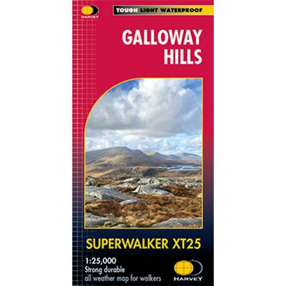
Description
This is a detailed map of the Galloway Hills that form part of the Southern Uplands of Scotland, at a scale of 1:25,000. This map is aimed at hillwalkers covering an area from Glen Trool and Loch Dee north to Loch Doon and Carrick Forest.
The map covers a large part of the popular Galloway Forest Park, including the Minnigaff Hills, Merrick, Corserine, the Dungeon Hills, plus many lochs that make this area a delight to walk in. The map shows 3 Corbetts, 4 Grahams and 11 Donalds.
Published in January 2021 by Harvey Maps, it is printed on light, waterproof and tear-resistant synthetic paper, and is GPS compatible.


