🚚 Free Worldwide Shipping on All Orders!Shop Now
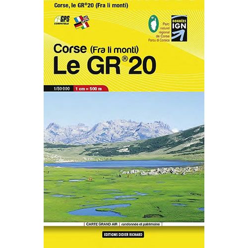
Corsica GR20 Trail Pocket Map
This Corse le GR20 trail map shows the entire GR20 on one pocket sized light weight map. GR hiking trails are all highlighted plus the road and railway networks are also shown. Also highlighted are tourist information and outdoor activities.
This map was published in March 2014.
Map Scale is 1:50,000.
This map is compatible with GPS systems.
This map was published in March 2014.
Map Scale is 1:50,000.
This map is compatible with GPS systems.
$14.63
Corsica GR20 Trail Pocket Map—
$14.63
Description
This Corse le GR20 trail map shows the entire GR20 on one pocket sized light weight map. GR hiking trails are all highlighted plus the road and railway networks are also shown. Also highlighted are tourist information and outdoor activities.
This map was published in March 2014.
Map Scale is 1:50,000.
This map is compatible with GPS systems.
This map was published in March 2014.
Map Scale is 1:50,000.
This map is compatible with GPS systems.