Ben Alder XT25 Superwalker Map
This is a detailed map of the remote area of Ben Alder that is ideal for hillwalkers, hikers and climbers. The map covers the Ben Alder area to the west of Dalwhinnie and the A9 and it also includes the Corrour Station. This Ben Alder map covers 24 Munros, 4 Corbetts and 3 Grahams along with the Creag Meagaidh National Nature Reserve.
Published in 2023 by Harvey Maps, it is printed on light, waterproof and tear-resistant synthetic paper.
Map Scale is 1:25,000 and is GPS compatible.
Original: $25.32
-70%$25.32
$7.60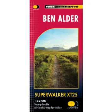
Description
This is a detailed map of the remote area of Ben Alder that is ideal for hillwalkers, hikers and climbers. The map covers the Ben Alder area to the west of Dalwhinnie and the A9 and it also includes the Corrour Station. This Ben Alder map covers 24 Munros, 4 Corbetts and 3 Grahams along with the Creag Meagaidh National Nature Reserve.
Published in 2023 by Harvey Maps, it is printed on light, waterproof and tear-resistant synthetic paper.
Map Scale is 1:25,000 and is GPS compatible.


