🚚 Free Worldwide Shipping on All Orders!Shop Now
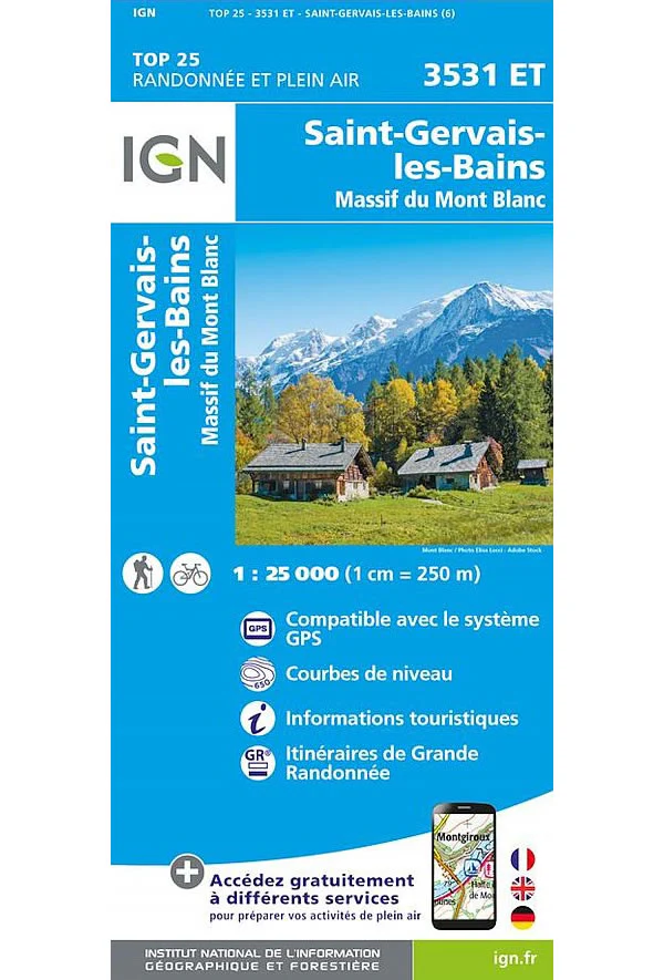
3531 ET - St-Gervais-Les-Bains/Massif du Mont Blanc Walking Map
This walking map covers the entire Mont Blanc massif from St-Gervais-Les-Bains in the west to Courmayeur in the east.
Published by IGN, the scale of this map is 1:25,000 that converts to 4cm to 1km. The map is GPS compatible with the legend/key is in French, German and English text.
Map Scale is 1:25,000.
IGN map code is 3531 ET.
ISBN is 9782758554165.
$25.32
3531 ET - St-Gervais-Les-Bains/Massif du Mont Blanc Walking Map—
$25.32
Description
This walking map covers the entire Mont Blanc massif from St-Gervais-Les-Bains in the west to Courmayeur in the east.
Published by IGN, the scale of this map is 1:25,000 that converts to 4cm to 1km. The map is GPS compatible with the legend/key is in French, German and English text.
Map Scale is 1:25,000.
IGN map code is 3531 ET.
ISBN is 9782758554165.