2417 OT - Foret de Fontainebleau Walking Map
This walking map covers the Fontainebleau forest and includes the town of Fontainebleau in the east, Milly-la-Foret in the west, and Nemours in the south. This is a very popular area for walking and climbing alike.
Published by IGN, the scale of this map is 1:25,000 that converts to 4cm to 1km. The map is GPS compatible with the legend/key in French, German and English text
Map Scale is 1:25,000.
IGN map code is 2417 OT
ISBN is 9782758552147.
Original: $25.32
-70%$25.32
$7.60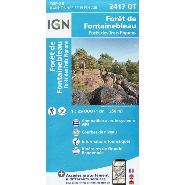
Description
This walking map covers the Fontainebleau forest and includes the town of Fontainebleau in the east, Milly-la-Foret in the west, and Nemours in the south. This is a very popular area for walking and climbing alike.
Published by IGN, the scale of this map is 1:25,000 that converts to 4cm to 1km. The map is GPS compatible with the legend/key in French, German and English text
Map Scale is 1:25,000.
IGN map code is 2417 OT
ISBN is 9782758552147.


